

GIS & Spatial Analysis
Red Beard Science offers a suite of geospatial services with expertise in both ESRI products and open-source software like Quantum GIS (QGIS) and R.
Spatial Analysis
Red Beard Science offers advanced spatial modeling and landscape ecology analyses for our clients. These services include species distribution (niche) modeling, land cover use and change, habitat connectivity, and climate change analyses. These tools provide our clients with advanced techniques to help them address environmental and biogeographical questions.
Conservation Mapping
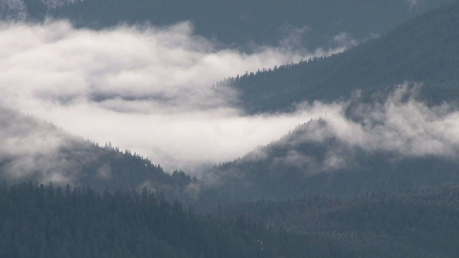
Red Beard Science specializes in conservation mapping. Using our extensive environmental datasets, we offer multiple mapping products like wildfire risk maps, wetlands maps, and land cover maps. We are experienced in mining public datasets to provide clients access to all the environmentally-relevant data they require to manage their properties sustainably.
Data Collection and Management
In addition to mapping and analysis, we provide all our clients with robust, well-documented datasets. Data provenance and metadata are central foci for our company, and we pride ourselves on providing clients with a data foundation from which they can grow.